
Country Canada Region North Slave Census division Region 5 Elevation 168 m Population 295 (2011) Local time Wednesday 2:04 AM | Territory Northwest Territories Territorial electoral district Tu Nedhe Time zone Mountain (MST) (UTC-7) Area 43.01 km² Area code Area code 867 | |
 | ||
Weather -10°C, Wind E at 19 km/h, 80% Humidity | ||
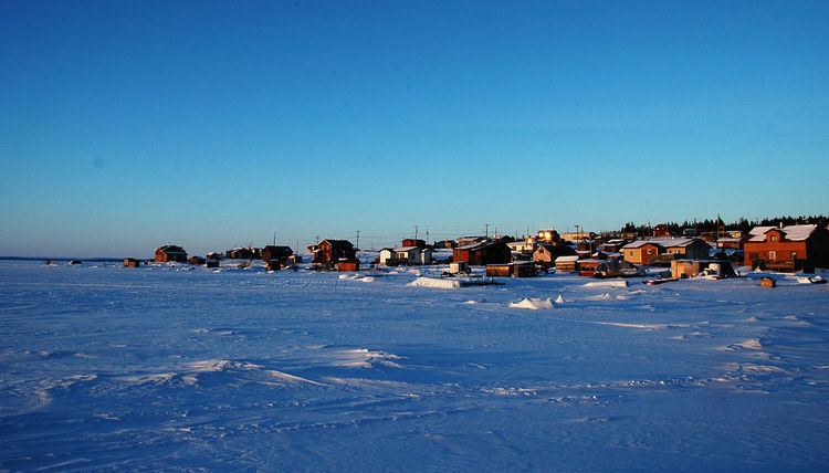
Łutselk'e ("place of the Łutsel", a type of small fish), also spelt Łutsel K'e, is a "designated authority" in the North Slave Region of the Northwest Territories, Canada. The community is located on the south shore near the eastern end of Great Slave Lake and until 1 July 1992, it was known as Snowdrift, as the community lies near the mouth of the Snowdrift River.
Contents
Map of Lutselk'e, NT, Canada
Demographics
Population is 295 according to the 2011 Census a decrease of 7.2% over the 2006 Census. In the 2006 Census the majority of the population, 285 people, were North American Indian and 10 people were Métis. The main languages in the community are Denesuline and English. In 2011 the Government of the Northwest Territories reported that the population was 310 with an average yearly growth rate of -1.4% from 2001
Services
There is a two-person Royal Canadian Mounted Police detachment and health centre with two nurses in the community. There is a single grocery store, the Lutselk'e Co-op, a post office and nine lodges or outfitters in the area. Education in the community is provided by the Lutsel K'e Dene School, which offers a comprehensive K-11 program. Additionally, there is also a community learning centre run by Aurora College.
Although not accessible by road there is an airport, Lutselk'e Airport, with scheduled services from Yellowknife and an annual sealift is provided by Northern Transportation Company Limited from Hay River in the summer. Lutselk'e Water Aerodrome is available in the summer months when the lake is clear of ice.
First Nations
Łutsel K'e is represented by the Lutsel K'e Dene First Nation and are part of the Akaitcho Territory Government.