
District Kroměříž Elevation 214 m Population 565 (2006) | Postal code 767 01 Area 4.88 km² | |
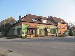 | ||
Lutopecny is a village and municipality (obec) in Kroměříž District in the Zlín Region of the Czech Republic.
Map of 767 01 Lutopecny, Czechia
The municipality covers an area of 4.88 square kilometres (1.88 sq mi), and has a population of 565 (as at 28 August 2006).
Lutopecny lies approximately 4 kilometres (2 mi) west of Kroměříž, 25 km (16 mi) west of Zlín, and 228 km (142 mi) south-east of Prague.
References
Lutopecny Wikipedia(Text) CC BY-SA