
Population 147 (2011) | OS grid reference TF339678 Sovereign state United Kingdom | |
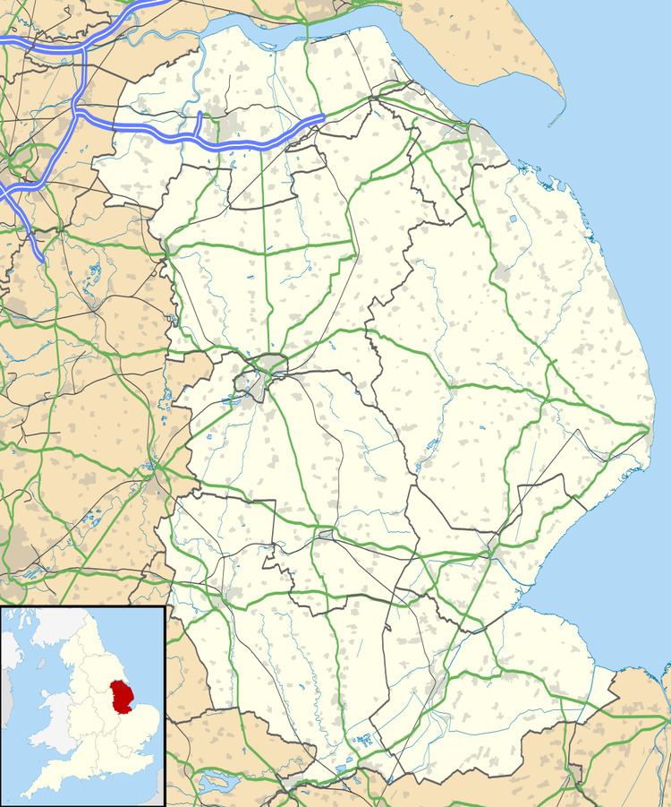 | ||
Lusby is a village in the East Lindsey district of Lincolnshire, England. It is situated about 4 miles (6 km) west from Spilsby, and about 5 miles (8 km) east from Horncastle. The village was a civil parish, but it now lies in that of Lusby with Winceby which had a population (including Hameringham) of 147 at the 2011 census.
Map of Lusby, Spilsby, UK
In the 1086 Domesday Book, Lusby is listed as "Luzebi", with 26 households, a meadow of 180 acres (0.73 km2), a mill and a church.
The parish church is a Grade I listed building dedicated to St Peter, built in greenstone and dating from the 11th to the 15th century. It was altered and reduced in 1893 by Ewan Christian, and in the 20th century an entrance lobby was added. A late 11th- to early 12th-century grave marker is incorporated above the keystone of the blocked south doorway of the nave.
Lusby CE School was built as a National school to serve the villages of Lusby, Winceby and Asgarby. It closed in 1962.