
Country United States ZIP code 47386 Elevation 305 m | FIPS code 18-45306 Local time Wednesday 1:34 AM | |
 | ||
Weather -7°C, Wind NW at 16 km/h, 65% Humidity | ||
Luray is an unincorporated community in Prairie Township, Henry County, Indiana.
Contents
Map of Luray, IN 47386, USA
History
Luray was laid out and platted in 1836. The community was named after Luray, Virginia since a large share of the early settlers were natives of that state. A post office was established at Luray in 1838, and remained in operation until it was discontinued in 1901.
Geography
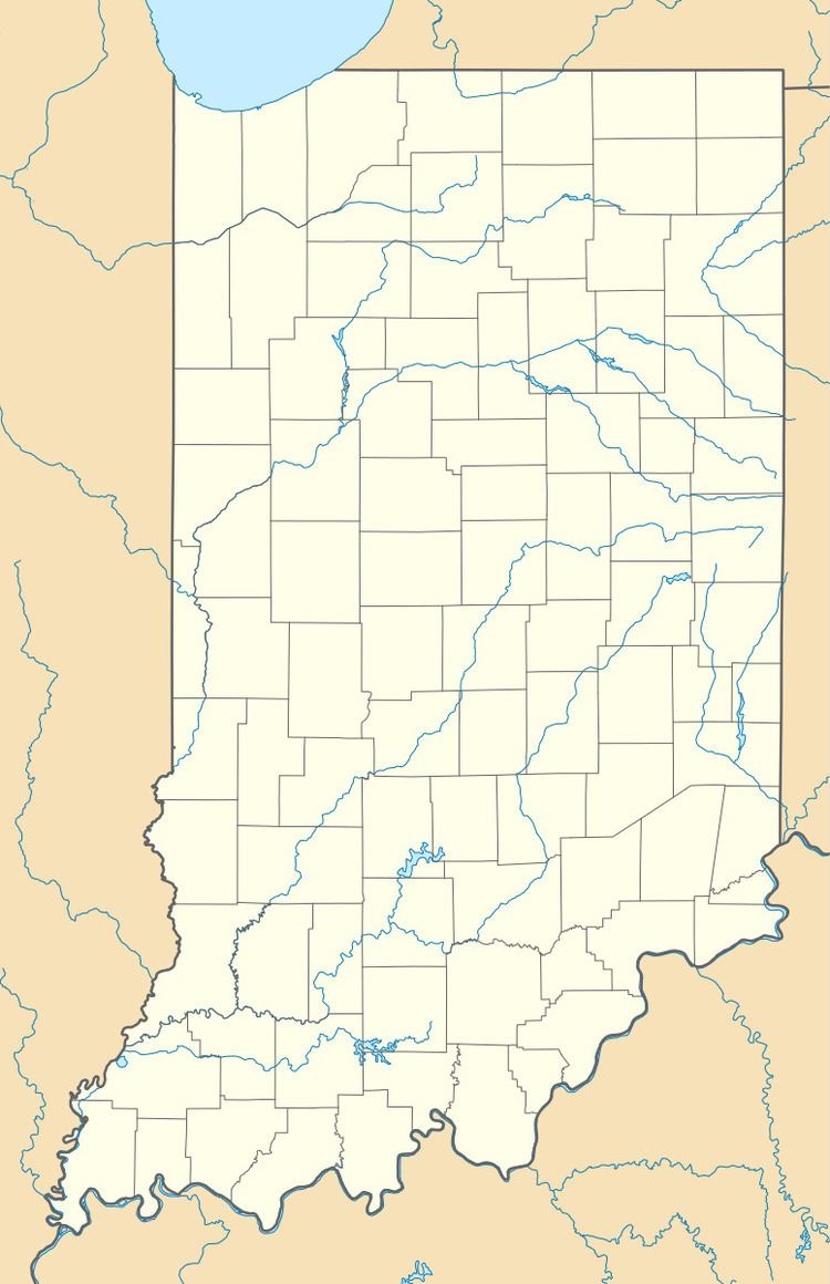
Luray is located at 40°04′16″N 85°22′01″W.
References
Luray, Indiana Wikipedia(Text) CC BY-SA