
Gaelic name Lungaigh OS grid reference NM278419 Area 81 ha | Norse name langr-øy Area rank 161 | |
 | ||
Meaning of name "(long)ship island", from Norse Highest elevation Cruachan 103 m (338 ft) Island groups British Isles, Inner Hebrides, Treshnish Isles | ||
Puffin therapy on lunga treshnish isles scotland today 29 04 2014
The island of Lunga is the largest of the Treshnish Isles in Argyll and Bute, Scotland.
Contents
- Puffin therapy on lunga treshnish isles scotland today 29 04 2014
- Map of Lunga United Kingdom
- History
- Wildlife
- References
Map of Lunga, United Kingdom
History
Of volcanic origin, Lunga has been described as 'a green jewel in a peacock sea'. Populated until the 19th century Lunga still bears the remains of blackhouses. To the northeast of the island lie the remains of the ruined village, which was abandoned in 1857.
Wildlife
Lunga is designated a Site of Special Scientific Interest because of its abundant plant life. Many rare and endangered plants are native to the island. Plants include primrose, birdsfoot trefoil, orchids, sea campion, sea thrift, sea pinks, yellow flags, tormentil and oyster plant. Grey seals inhabit the waters surrounding the island, while birdlife includes storm-petrels, kittiwakes and Manx shearwaters. Guillemot, puffin and razorbills breed on Lunga and on the Harp Rock, a sea stack separated by a narrow gut. Barnacle geese appear each winter.
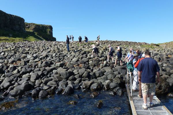
In summer, tourist boats visit Lunga from Ulva Ferry. The main attraction is the many thousands of breeding puffins which allow visitors to approach to within a few feet of them.