
Country Canada Incorporated (Village) 1956 Area code(s) 250 / 778 / 236 Area 5.27 km² | Postal code span V0E Elevation 500 m Population 1,731 (2011) Local time Tuesday 6:02 PM | |
 | ||
Time zone Pacific Time Zone (UTC-8) Weather 5°C, Wind SE at 11 km/h, 100% Humidity | ||
Lumby is a small community of 1,731 people, located near the edge of the Monashee Mountains. It is mainly a logging, manufacturing and agriculture community.
Contents
Map of Lumby, BC, Canada
The village is home to a network of trails along the creek beds, known collectively as the Salmon Trail.
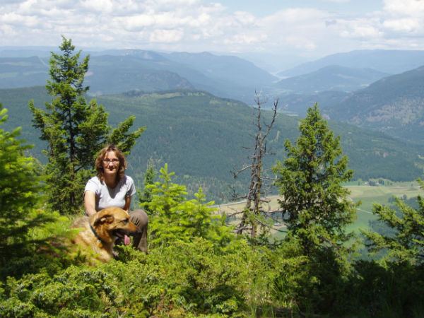
Hang gliding and paragliding are very popular in Lumby. The village has hosted many national and international events, usually taking place at nearby Cooper Mountain.
Schools administered by School District 22 Vernon in Lumby include Charles Bloom Secondary School, Crossroads Alternate School and J W Inglis Elementary School.
The community was also home to the Lumby Fighting Saints of the now defunct WHA Junior West Hockey League.
Some of Lumby's prominent employers include: Tolko Industries, Rouck Brothers Sawmill, Super A Grocery, Irly Building Centres, Mac's Convenience Stores, Fields, Lumby Hotel and Blue Ox Pub.
Annually, the "Lumby Days" family fair takes place in the beginning of summer, attracting many people from around the valley.
On 8 October 2014 a WWII-era Japanese balloon bomb was discovered in the mountains near Lumby by forestry workers. The next day, they reported it to the RCMP. It was then disposed of on site using explosives, as it was too dangerous to move it. All of this happening 70 years after it had been launched.
Climate
Lumby has a humid continental climate with hot summers days and cool nights. Spring and fall are the driest seasons, and summer and winter are the wettest seasons. Fog often sets in during the winter, and can last for days at a time. Lumby is wetter and cooler than Vernon, but is still dry enough to contain natural grasslands, especially on south facing slopes.
During the summer months, Lumby has one of the highest diurnal temperature variations in Canada. The daily temperature swing of 20.1 °C (36.2 °F) in August is only exceeded by Beaverdell.
Lumby is at a transition point between the semi-arid dry belt to the west and the interior rainforest to the east. Thus, both wet and dry vegetation are common in Lumby.
Weather Facts: