
Country Philippines Time zone PST (UTC+8) Dialing code +63 (0)63 Local time Wednesday 8:44 AM | Barangays ZIP code 9307 Area 158.4 km² Province Lanao del Sur | |
 | ||
Region Autonomous Region in Muslim Mindanao (ARMM) Weather 24°C, Wind N at 6 km/h, 85% Humidity | ||
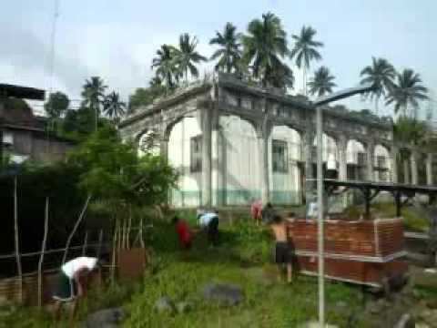
Lumbatan is a sixth class municipality in the province of Lanao del Sur, Philippines. According to the 2015 census, it has a population of 19,105 people.
Contents
Map of Lumbatan, Lanao del Sur, Philippines
The town has a full view of Mount Makaturing.
Barangays
Lumbatan is politically subdivided into 21 barangays.
History
Macadar, the old town of Lumbatan, Province of Sultan Mardan. 2nd District in Lanao del Sur, (not use or not confirmed). ;Sultan Mardan in Macadar, was among to the 15th century rulers of the Sultanates of Lanao.
In 2005, nine barangays of Lumbatan were made into Lumbaca-Unayan, a separate municipality.
Barangay Ligue was created out of barangay Pantar in pursuant to Muslim Mindanao Autonomy Act No. 79 dated 27 October 1998, which was ratified through a plebiscite conducted by the COMELEC on March 25, 2006.