
Elevation 305 m Local time Wednesday 12:24 AM | Postal code 763 16 Area 22.67 km² | |
 | ||
Weather -1°C, Wind E at 6 km/h, 89% Humidity | ||
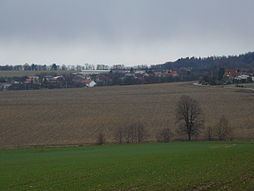
Lukoveček is a village and municipality (obec) in Zlín District in the Zlín Region of the Czech Republic.
Map of 763 16 Lukove%C4%8Dek, Czechia
The municipality covers an area of 22.67 square kilometres (8.75 sq mi), and has a population of 429 (as at 28 August 2006).
Lukoveček lies approximately 10 kilometres (6 mi) north of Zlín and 250 km (155 mi) east of Prague.
References
Lukoveček Wikipedia(Text) CC BY-SA