
Country United States Time zone CST (UTC-6) Elevation 233 m Local time Tuesday 12:00 PM | Established November 8, 1859 GNIS feature ID 0429290 Area 94.92 km² Population 4,278 (2010) | |
 | ||
Weather -3°C, Wind NE at 5 km/h, 66% Humidity | ||
Ludlow Township is a township in Champaign County, Illinois, USA. As of the 2010 census, its population was 4,278 and it contained 2,233 housing units.
Contents
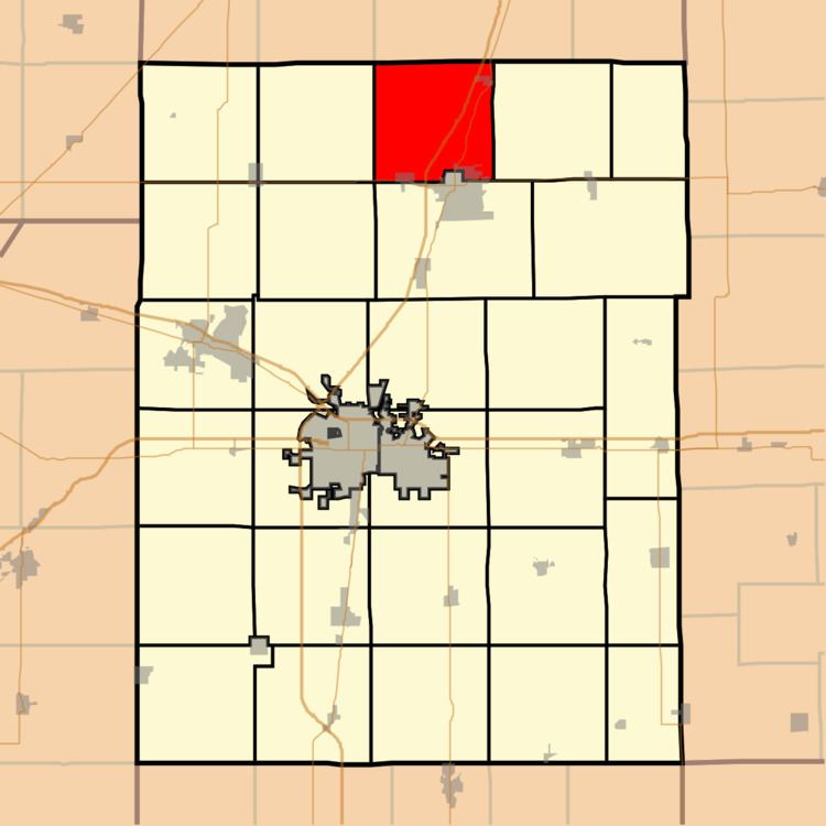
- Map of Ludlow Township IL USA
- History
- Geography
- Cities and towns
- Unincorporated towns
- Cemeteries
- Major highways
- References
Map of Ludlow Township, IL, USA
History
Ludlow Township changed its name from Pera Township in March, 1867.
Geography
According to the 2010 census, the township has a total area of 36.65 square miles (94.9 km2), of which 36.62 square miles (94.8 km2) (or 99.92%) is land and 0.03 square miles (0.078 km2) (or 0.08%) is water.
Cities and towns
Unincorporated towns
(This list is based on USGS data and may include former settlements.)
Cemeteries
The township contains five cemeteries: Ludlow, Maplewood, Mennonite, Miller and Mount Hope.
Major highways
References
Ludlow Township, Champaign County, Illinois Wikipedia(Text) CC BY-SA