
Area 36.68 km² | Region Ústí nad Labem Postal code 439 83 to 441 01 Elevation 373 m | |
 | ||
Neighborhoods Drahonice, Řepany, Libyně, Vítkovice, Přibenice, Libkovice, Horní Záhoří, Dolní Záhoří | ||
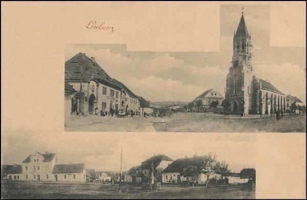
Lubenec is a village and municipality (obec) in Louny District in the Ústí nad Labem Region of the Czech Republic.
Map of Lubenec, Czechia
The municipality covers an area of 36.68 square kilometres (14.16 sq mi), and has a population of 1,538 (as at 28 August 2006).
Lubenec lies approximately 43 kilometres (27 mi) south-west of Louny, 79 km (49 mi) south-west of Ústí nad Labem, and 80 km (50 mi) west of Prague.
References
Lubenec Wikipedia(Text) CC BY-SA