
Elevation 181 m (594 ft) Population 7,739 (2012) | Climate Am Local time Tuesday 11:07 AM | |
 | ||
Weather 28°C, Wind SW at 10 km/h, 81% Humidity | ||
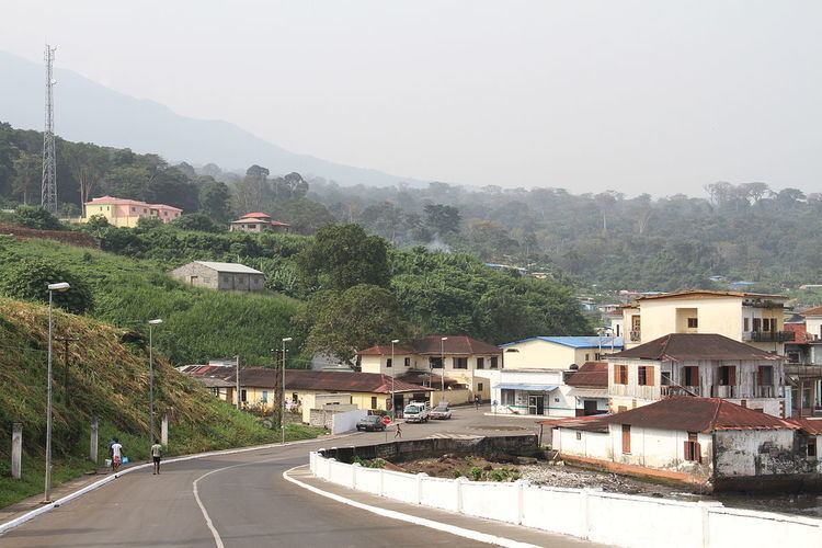
Luba (formerly San Carlos) (pop. 7,000) is the second-largest town on Bioko in Equatorial Guinea, a port for the logging industry on the island's west coast beneath volcanic peaks. Attractions in Luba include several beaches and a colonial hospital.
Map of Luba, Equatorial Guinea
The city may be reached either by sea or by a main road linking Luba to the country's capital, Malabo. The road is now accessible; it takes about an hour to drive from Malabo to Luba. In 1999, a free port opened near the town, creating deepwater access for larger and oil industry vessels, an alternative to the congested port of Malabo for re-supplying on fuel, water and other materials. As of 2010 a new highway was under construction from Luba via Belebú Balachá through the Luba Crater Scientific Reserve to Ureca near the south coast.