
Population 552 (2011 census) Unitary authority Local time Tuesday 7:19 AM | OS grid reference NU015395 Sovereign state United Kingdom Dialling code 01289 | |
 | ||
Weather 10°C, Wind SW at 26 km/h, 87% Humidity | ||
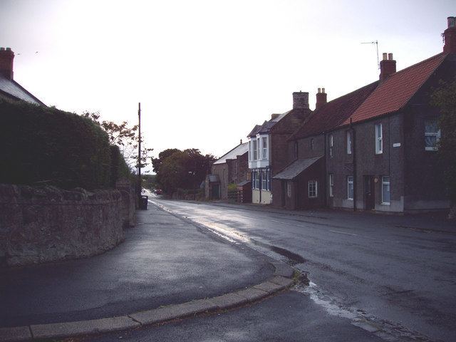
Lowick /ˈlaʊ.ɪk/ is a village in Northumberland, England. It appears in records as early as 1181 as Lowich, and in 1242 as Lowyc. The name derives from Old English meaning settlement (OE: wic, cognate to Latin vicus) on the River Low.
Contents
Map of Lowick, UK
Landmarks
The Devil's Causeway passes through the village having continued north under a C Road for about 6 miles (10 km) from Newtown. The causeway is a Roman road which starts at Port Gate on Hadrian's Wall, north of Corbridge, and extends 55 miles (89 km) northwards across Northumberland to the mouth of the River Tweed at Berwick-upon-Tweed.
The rural village of Lowick can be found in the northern part of Northumberland, approximately 9 miles south of Berwick-upon-Tweed and 7 miles northeast of Wooler. The ancient road used by the monks of Lindisfarne to Durham crosses the Roman Road called the Devil's Causeway here - it was at these crossroads that Lowick began to develop.
The village lies at 100m above sea level. There are two public house, the Black Bull and the White Swan, and a village shop. A mobile post office visits each weekday morning.
A mile to the east of the village are the earthwork remains of Lowick Castle.