
OS grid reference SU636402 | Sovereign state United Kingdom Postcode district SO24 | |
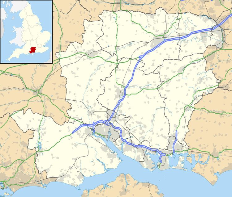 | ||
Lower Wield is a village in the East Hampshire district of Hampshire, England. At the 2011 Census the population was included in the civil parish of Wield. It is 1.8 miles (2.9 km) west of the village of Bentworth, 5.2 miles (8.4 km) west of Alton. The nearest railway station is Alton, 5.2 miles (8.4 km) east of the village.
Map of Lower Wield, Alresford, UK
At one time, Lower Wield came under the large parish of Bentworth until its decline in the mid-19th century. Although today, Wield's parish borders the parish of Bentworth.
The village has one public house, The Yew Tree.
References
Lower Wield Wikipedia(Text) CC BY-SA