
Population 82 (2001 Census) Sovereign state United Kingdom Local time Tuesday 6:46 AM Dialling code 01327 | OS grid reference SP4862 Post town DAVENTRY | |
 | ||
Weather 7°C, Wind SW at 14 km/h, 99% Humidity Civil parish Upper and Lower Shuckburgh | ||
Lower Shuckburgh is a small village in eastern Warwickshire. It lies within the civil parish of Upper and Lower Shuckburgh, which in the 2001 census had a population of 82.
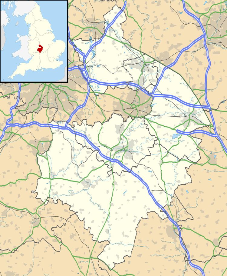
Map of Lower Shuckburgh, Daventry, UK
The village lies on the A425 road between Southam and Daventry. Just north of the village is the Oxford Canal. On Beacon Hill, just south of the village, is the deserted village of Upper Shuckburgh after which the parish is partly named.
The most notable building in the village is the Church of St John the Baptist, designed by John Croft, which dates from 1864 and is built in Gothic style.
Shuckburgh was mentioned in the Domesday Book as Sochberge, possibly referring to a long lost burial mound or barrow. The villages appear as Ouer Shugbury and Nether Shugbury on the Christopher Saxton map of 1637.