
Basin countries New Zealand Area 53 ha | Surface area 52.9 ha (131 acres) | |
 | ||
Water volume 4.60×10^–4.81×10^ m (3,730–3,900 acre·ft) Similar Upper Nihotupu Reservoir, Waitakere Reservoir, Beveridge Track, Waitakere Ranges, Kakamatua Inlet | ||
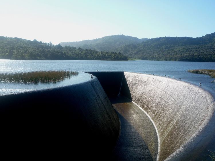
The Lower Nihotupu Reservoir (or Lower Nihotupu Dam) is one of five reservoirs in the Waitakere Ranges that supply water to Auckland. Built between 1945 and 1948, the reservoir covers an area of 52.9 hectares and has a capacity of 4.6 million cubic metres. The reservoir is managed by Water Care Services Limited, a council-owned company.
Map of Lower Nihotupu Reservoir, Nihotupu, Auckland 0604, New Zealand
The dam is credited as one of the first applied examples of the soil mechanics science in New Zealand, and was soon followed by the creating of engineering geology as a major subject at the School of Engineering, Auckland.
References
Lower Nihotupu Reservoir Wikipedia(Text) CC BY-SA