
Postcode(s) 2250 Parish Cowan Lower Mangrove Greengrove Federal division Division of Robertson | LGA(s) Central Coast Council State electorate(s) Gosford Postal code 2250 | |
 | ||
Location 41 km (25 mi) W of Gosford
35 km (22 mi) E of Wisemans Ferry | ||
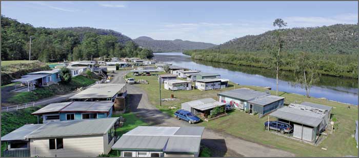
Lower Mangrove is a suburb of the Central Coast region of New South Wales, Australia, located about 8 kilometres (5 mi) upstream and north of Spencer along Mangrove Creek. It is part of the Central Coast Council local government area.
Map of Lower Mangrove NSW 2250, Australia
References
Lower Mangrove, New South Wales Wikipedia(Text) CC BY-SA