
 | ||
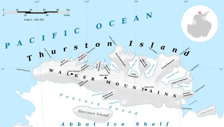
The Lowe Nunataks (72°13′S 98°56′W) are a cluster of low peaks or nunataks 1.5 nautical miles (3 km) southeast of Mount Borgeson in the Walker Mountains of Thurston Island, Antarctica. They were named by the Advisory Committee on Antarctic Names after Photographer's Mate W.L. Lowe, an aircrewman in the Eastern Group of U.S. Navy Operation Highjump, which obtained aerial photographs of this feature and coastal areas adjacent to Thurston Island, 1946–47.
Maps
References
Lowe Nunataks Wikipedia(Text) CC BY-SA