Time zone EET (UTC+2) Local time Monday 9:35 PM | Elevation 270 m Population 301 (2001) | |
 | ||
Weather 11°C, Wind NW at 8 km/h, 79% Humidity | ||
Loures (Greek: Λούρες) is a village on the island of Crete in Greece, located in the municipality of Gortyn (until 2011 in the municipality of Kofinas) of Heraklion regional unit, at the northern edge of the Messara Plain. It is 53.8 kilometres (33.4 mi) by road south of Heraklion city.
Contents
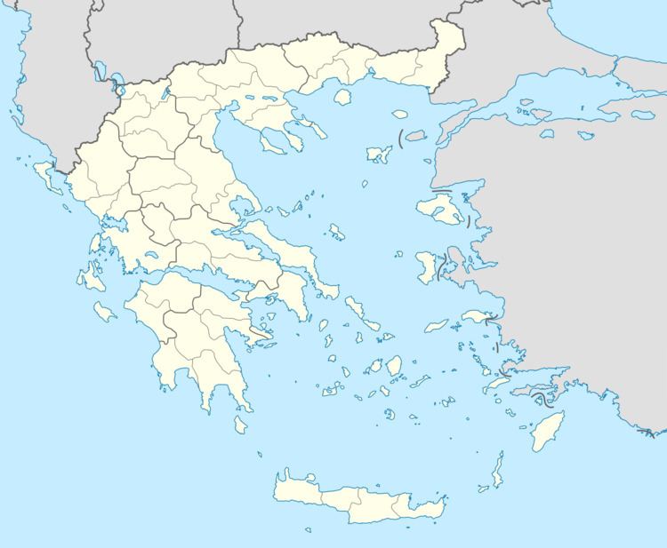
Map of Loures 700 12, Greece
The people of Loures are involved in the cultivation of olive trees and vineyards and the raising of livestock. The indigenous Messara horse is extensively bred there.
History
The settlement appears in the Venetian censuses of the 16th century under the name Lures; 109 inhabitants are recorded in Pietro Castrofilaca's 1583 census.
References
Loures, Heraklion Wikipedia(Text) CC BY-SA
