
Country Canada Time zone AST (UTC-4) Area code(s) 418 and 581 Province Québec | Region Côte-Nord Postal code(s) G0G 1W0 Population 828 (2011) Municipality Blanc-Sablon | |
 | ||
RCM Le Golfe-du-Saint-Laurent | ||
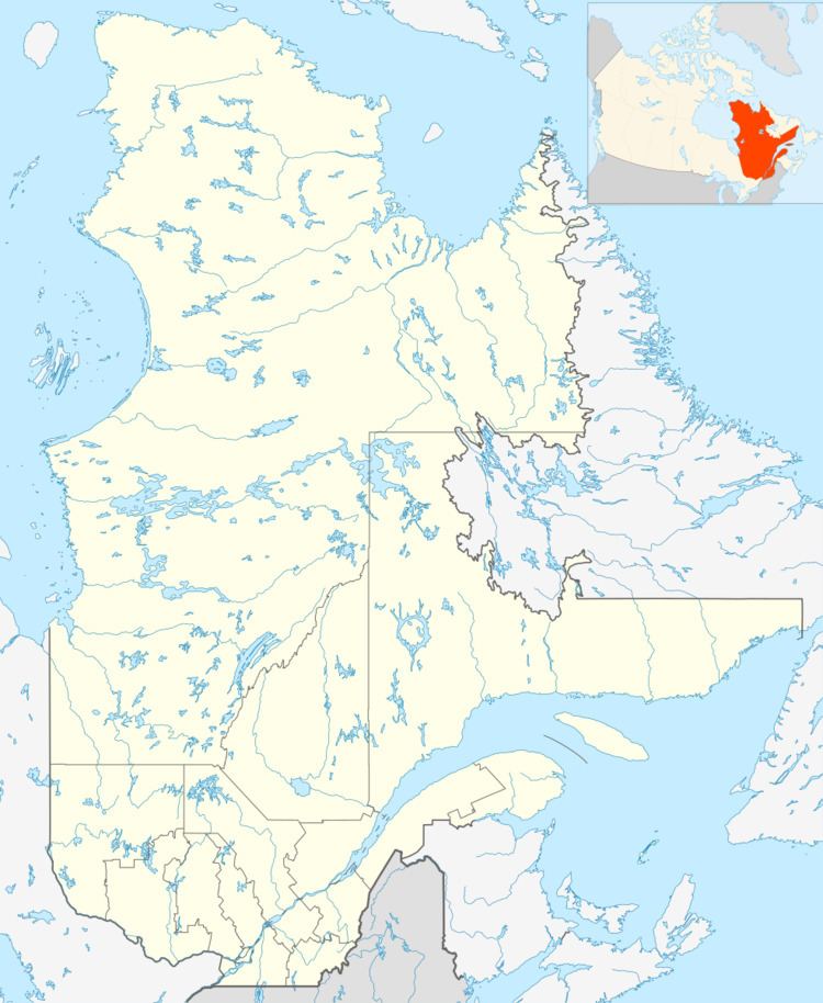
Lourdes-de-Blanc-Sablon is an unconstituted locality (as defined by Statistics Canada in the Canada 2011 Census) within the municipality of Blanc-Sablon in the Côte-Nord region of Quebec, Canada.
Map of Lourdes-de-Blanc-Sablon, Blanc-Sablon, QC, Canada
Jacques Cartier landed at the place in 1534 and set up a cross near the current site of Lourdes-de-Blanc-Sablon. The name was known before the Jacques Cartier's explorations. In his accounts of the 1534 voyage, he cites three times Blanc-Sablon, without any explanation. Sablon is an old French term meaning Fine Sand. In 1858, the Mission of Longue-Pointe-de-Blanc-Sablon was established and took the name Lourdes-de-Blanc-Sablon or Notre-Dame-de-Lourdes at the end of 19th century.
Lourdes-de-Blanc-Sablon (51°24′41″N 57°12′11″W) is the largest of three communities forming the municipality of Blanc-Sablon (Blanc-Sablon, Lourdes-de-Blanc-Sablon, and Brador Bay), and is located on the headland that separates Brador Bay from Blanc-Sablon Bay. It was originally known as Longue-Pointe (Long Point) until the beginning of the 20th century. It has a small natural harbour, and long depended on the fishing business.
Its population in the 2011 census was 828.