
OS grid reference TF070182 | Sovereign state United Kingdom Postcode district PE10 | |
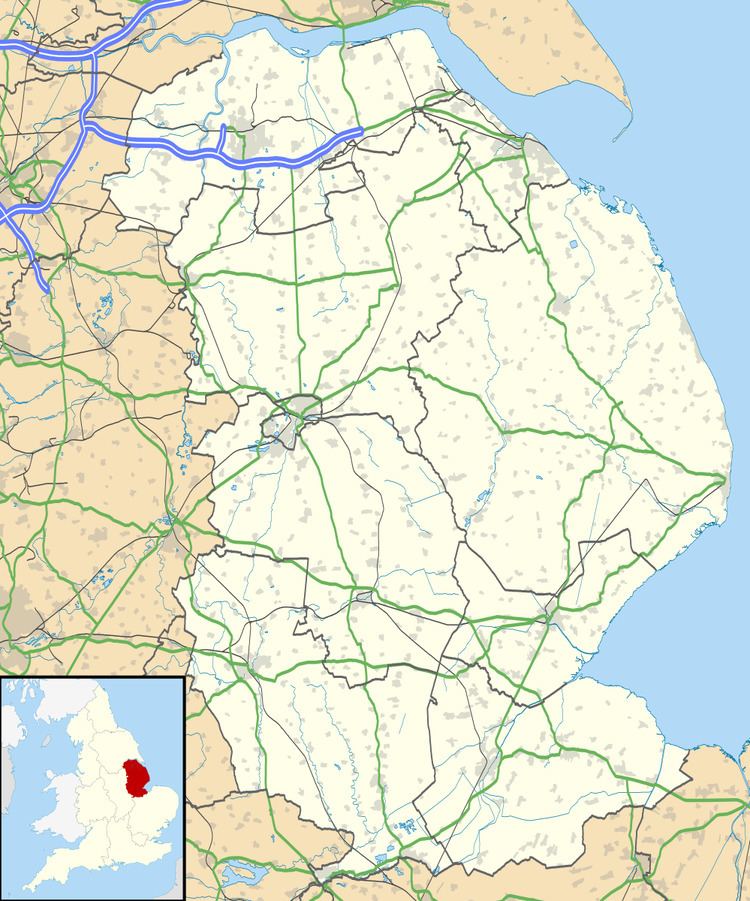 | ||
Lound is a village in the South Kesteven district of Lincolnshire, England. It is situated about 2 miles (3 km) south-west from the town of Bourne.
Map of Lound, Bourne, UK
Originally part of the parish of Witham on the Hill, Lound became part of Toft with Lound parish between 1866 and 1931. Since 1931 Lound has been part of the civil parish of Toft with Lound and Manthorpe (where the population is included).
At the time of Domesday Book of 1086, Lound consisted of 18 households, two mills, and a church.
Earthworks of the deserted medieval village of Bowthorpe are near the 17th-century Bowthorpe Park Farm.
References
Lound, Lincolnshire Wikipedia(Text) CC BY-SA