
Country United States Area code(s) 620 Elevation 444 m Local time Monday 5:43 AM | State Kansas Time zone CST (UTC-06:00) FIPS code 20-42850 Area 93.2 km² Population 197 (2010) | |
 | ||
Weather -5°C, Wind NW at 34 km/h, 63% Humidity | ||
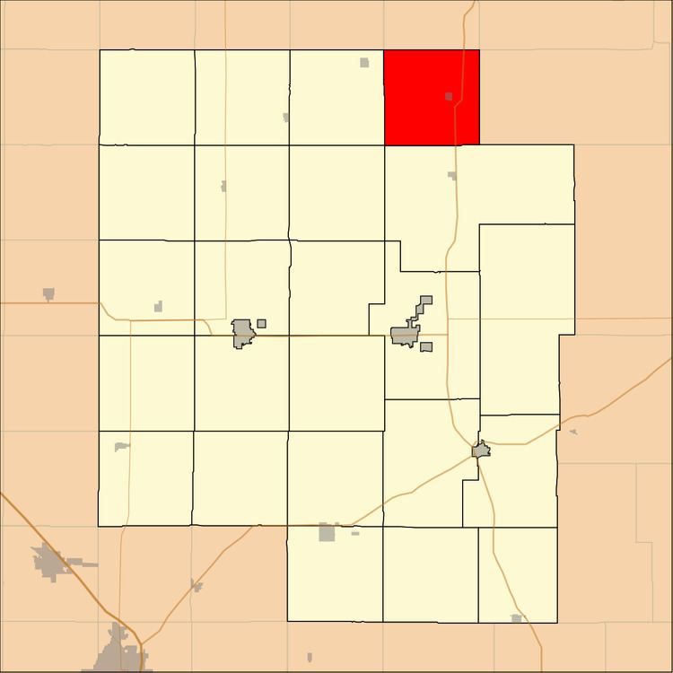
Lost Springs Township is a township in Marion County, Kansas, United States. As of the 2010 census, the township population was 197, including the city of Lost Springs.
Contents
Map of Lost Springs, KS, USA
Geography
Lost Springs Township covers an area of 36 square miles (93.2 km2).
Cities and towns
The township contains the following settlements:
Cemeteries
The township contains the following cemeteries:
Transportation
U.S. Route 77 highway passes north to south through the township.
References
Lost Springs Township, Marion County, Kansas Wikipedia(Text) CC BY-SA