
Parent range Sierra Nevada Elevation 2,518 m Mountain range Sierra Nevada | Topo map USGS Homewood Prominence 165 m | |
 | ||
Easiest route Hike and scramble, class 1-2 Similar McConnell Peak, Phipps Peak, Rubicon Peak, Tells Peak, Red Peak | ||
Lost Corner Mountain is a mountain summit in the Sierra Nevada mountain range to the west of Lake Tahoe on the border of the Desolation Wilderness in El Dorado County, California. The city closest to it is Meyers, California which is 4.4 miles away.
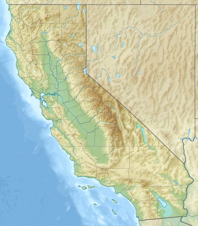
Map of Lost Corner Mountain, California, USA
The Pacific Crest Trail skirts the mountain on its west flank.
References
Lost Corner Mountain Wikipedia(Text) CC BY-SA