
Time zone ART (UTC-3) Dialing code +54 3845 Elevation 140 m | CPA base G4208 Climate BSh Local time Monday 1:09 AM | |
 | ||
Weather 19°C, Wind NE at 8 km/h, 54% Humidity | ||
Loreto is a city located in central Argentina in the southwest of the province of Santiago del Estero, Argentina. It has 9,854 inhabitants as per the 2001 census , and is the head town of the Loreto Department. It is located 59 km south from the provincial capital Santiago del Estero, on National Route 9.
Contents
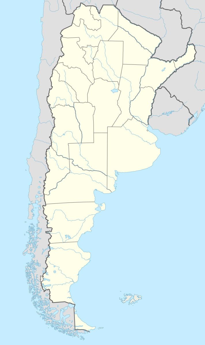
- Map of Loreto Santiago del Estero Province Argentina
- Population
- Economy
- Geography
- Culture
- Celebrations
- References
Map of Loreto, Santiago del Estero Province, Argentina
Population
Loreto had 9854 inhabitants (INDEC, 2001), representing an increase of 33.4% compared to the 7386 inhabitants (INDEC, 1991) of the previous census. This figure makes it the 8th largest urban area in the province.
Economy
Its main economic activities are livestock raring, agriculture and forestry.
Geography
Culture
Loreto is basically characterized by its ancient traditions, such as celebrations of the Virgin of Loreto, patroness of Argentine aviation and for edible craft products such as the Rosquete (a sweet dough in the form of a doughnut topped with meringue) which has a delicious flavor. Loreto features different sports institutions like the Union Workers Club, Sportivo Loreto, El Remanso, San Martin and Alberdi.