
County Miami ZIP code 46914 Elevation 247 m | State Indiana FIPS code 18-44982 Local time Sunday 11:20 PM | |
 | ||
Weather -1°C, Wind E at 13 km/h, 49% Humidity | ||
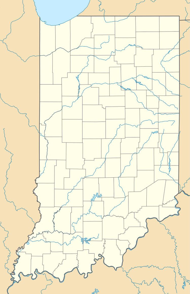
Loree is an unincorporated community in Clay Township, Miami County, Indiana.
Contents
Map of Loree, IN 46914, USA
History
Loree was laid out in 1888 when the Pan Handle Railroad was extended to that point. The community was named in honor of a railroad employee. A post office was established at Loree in 1888, and remained in operation until 1926.
Geography
Loree is located at 40°38′44″N 86°03′29″W.
References
Loree, Indiana Wikipedia(Text) CC BY-SA