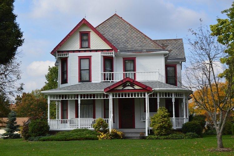
Country United States FIPS code 39-44912 Area 59.93 km² Zip code 44481 Local time Sunday 11:12 PM | Time zone Eastern (EST) (UTC-5) GNIS feature ID 1061443 Elevation 290 m Population 3,342 (2013) Area code 330 | |
 | ||
Weather -7°C, Wind NE at 6 km/h, 62% Humidity | ||
Chevy cruze assembled in lordstown ohio
Lordstown is a village in Trumbull County, Ohio, United States. It is part of the Youngstown-Warren-Boardman, OH-PA Metropolitan Statistical Area. Lordstown Township, which nearly completely incorporated as the village of Lordstown in 1975 (except for a small section which was then annexed to Warren Township), was one of the original survey townships of the Connecticut Western Reserve: Town 3, Range 4. The township, and subsequently the village, was named for Samuel P. Lord, who laid out the township. The population was 3,417 at the 2010 census.
Contents
- Chevy cruze assembled in lordstown ohio
- Map of Lordstown OH USA
- Geography
- 2010 census
- 2000 census
- References
Map of Lordstown, OH, USA
Lordstown is best known for Lordstown Assembly, a General Motors plant which started production in 1966, and is now the Youngstown-Warren-Boardman MSA's largest industrial employer with approximately 4,500 employees (nearly 1,000 more people work at the plant than live in the village in which it is located). The Chevrolet Cruze is currently manufactured at this facility although that is being phased out for 2017 to move into SUV models.
Geography
Lordstown is located at 41°10′18″N 80°52′00″W (41.171785, -80.866655). It borders or touches the following other townships and municipalities:
According to the United States Census Bureau, the village has a total area of 23.14 square miles (59.93 km2), all land.
2010 census
As of the census of 2010, there were 3,417 people, 1,391 households, and 1,025 families residing in the village. The population density was 147.7 inhabitants per square mile (57.0/km2). There were 1,496 housing units at an average density of 64.6 per square mile (24.9/km2). The racial makeup of the village was 95.1% White, 3.2% African American, 0.1% Native American, 0.4% Asian, 0.1% from other races, and 1.1% from two or more races. Hispanic or Latino of any race were 0.9% of the population.
There were 1,391 households of which 29.5% had children under the age of 18 living with them, 58.0% were married couples living together, 10.2% had a female householder with no husband present, 5.5% had a male householder with no wife present, and 26.3% were non-families. 22.1% of all households were made up of individuals and 9.9% had someone living alone who was 65 years of age or older. The average household size was 2.46 and the average family size was 2.86.
The median age in the village was 45 years. 21.1% of residents were under the age of 18; 6.3% were between the ages of 18 and 24; 22.7% were from 25 to 44; 32.7% were from 45 to 64; and 17.2% were 65 years of age or older. The gender makeup of the village was 48.6% male and 51.4% female.
2000 census
As of the census of 2000, there were 3,633 people, 1,412 households, and 1,077 families residing in the village. The population density was 157.0 people per square mile (60.6/km²). There were 1,483 housing units at an average density of 64.1 per square mile (24.8/km²). The racial makeup of the village was 95.84% White, 2.89% African American, 0.08% Native American, 0.36% Asian, 0.11% from other races, and 0.72% from two or more races. Hispanic or Latino of any race were 0.44% of the population.
There were 1,412 households out of which 32.2% had children under the age of 18 living with them, 63.7% were married couples living together, 9.0% had a female householder with no husband present, and 23.7% were non-families. 21.1% of all households were made up of individuals and 7.6% had someone living alone who was 65 years of age or older. The average household size was 2.57 and the average family size was 2.97.
In the village, the population was spread out with 24.0% under the age of 18, 7.1% from 18 to 24, 27.9% from 25 to 44, 30.0% from 45 to 64, and 11.0% who were 65 years of age or older. The median age was 40 years. For every 100 females there were 97.7 males. For every 100 females age 18 and over, there were 97.8 males.
The median income for a household in the village was $51,144, and the median income for a family was $55,305. Males had a median income of $45,082 versus $28,063 for females. The per capita income for the village was $22,683. About 5.6% of families and 4.4% of the population were below the poverty line, including 6.7% of those under age 18 and 6.4% of those age 65 or over.
