
District Uherské Hradiště Elevation 490 m Local time Monday 12:33 AM | Postal code 687 67 Area 12.52 km² | |
 | ||
Weather -3°C, Wind E at 3 km/h, 84% Humidity | ||
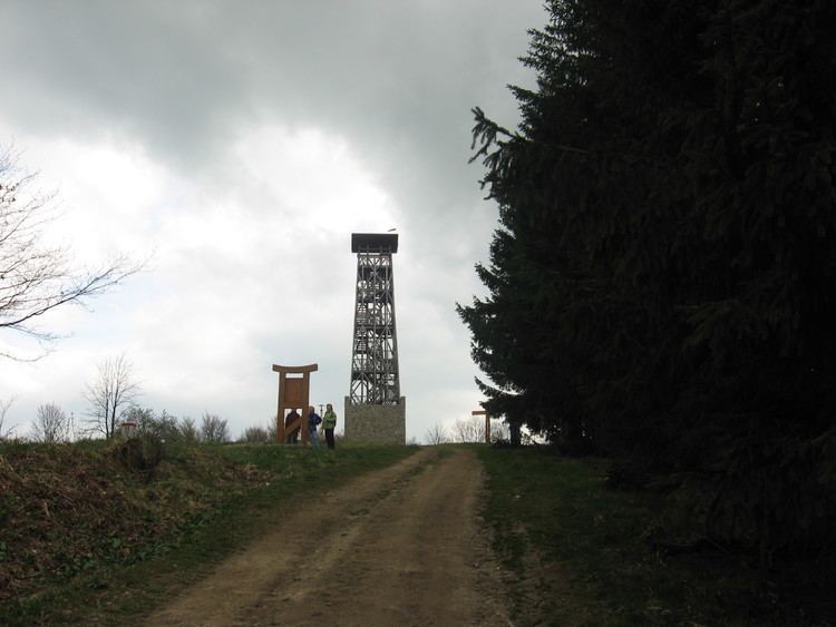
Lopeník is a village and municipality (obec) in Uherské Hradiště District in the Zlín Region of the Czech Republic.
Map of 687 67 Lopen%C3%ADk, Czechia
The municipality covers an area of 12.52 square kilometres (4.83 sq mi), and has a population of 195 (as at 28 August 2006).
Lopeník lies approximately 28 kilometres (17 mi) south-east of Uherské Hradiště, 34 km (21 mi) south of Zlín, and 275 km (171 mi) south-east of Prague.
References
Lopeník Wikipedia(Text) CC BY-SA