
OS grid reference SP815005 Post town PRINCES RISBOROUGH Dialling code 01844 | Sovereign state United Kingdom Postcode district HP27 District Wycombe District Civil parish Princes Risborough | |
 | ||
Loosley Row is a hamlet in the parish of Princes Risborough, Buckinghamshire. At the 2011 Census the population was included in the civil parish of Lacey Green. It is located in the Chiltern Hills to the east of the main town of Princes Risborough.
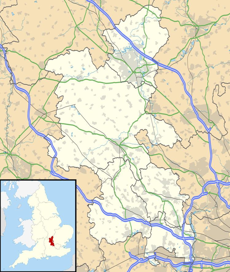
Map of Loosley Row, Princes Risborough, UK
The hamlet name derives from the Old English hlose-leah, and means 'pigstye-clearing'. It is often said that the hamlet was named after the Loosley family (fairly prolific in the area) but it is, in fact, the other way round - the family was named after the place.
The Domesday book talks of the large number of pigs at (Princes) Risborough. Pigs were often found in clearings at the edges of the woods, the animals allowed to wander through sectioned areas of the woods. The row of piggeries in the lea of the woods became the start of a settlement called Loosley Row. Loosley Row stretched from Brimmer's Farm, east of Princes Risborough, round the side of the hill to the hamlet we know today. It included Wardrobes farm and Wardrobes House.