
Topo map USGS Elevation 1,990 m Mountain range Cascade Range | Easiest route Hike Prominence 562 m Parent range Cascade Range | |
 | ||
Location Hood River County, Oregon, U.S. Similar Crane Mountain, Strawberry Mountain, Sacajawea Peak, Aneroid Mountain, Aspen Butte | ||
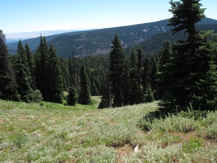
Lookout Mountain, elevation 6,536 feet (1,992 m), is the second highest peak in Oregon's Mount Hood National Forest and the highest point in Badger Creek Wilderness. It sits about 8 miles (13 km) east-southeast of Mount Hood, separated from it by the valley of the East Fork Hood River.
Map of Lookout Mountain, Oregon 97041, USA
From its summit and with good visibility, one may see (from approximately west and moving clockwise) Mt. Hood, Mt. St. Helens, Mt. Rainier, Mt. Adams, Broken Top, South Sister, North Sister, Mt. Washington, and Mt. Jefferson with the unassisted eye.
In 1911 a Forest Service lookout was built on the summit and was replaced by an L-4 tower in 1940. The site was abandoned in 1966 and the structure was later removed.
References
Lookout Mountain (Oregon) Wikipedia(Text) CC BY-SA