
Country Canada Time zone EST (UTC−5) Area code(s) 418 and 581 Area 317.8 km² Population 1,113 (2011) | Constituted May 28, 1997 Postal code(s) G0T 1Z0 Highways Route 138 Local time Sunday 4:23 PM Province Québec | |
 | ||
Weather -6°C, Wind W at 29 km/h, 56% Humidity RCMs Côte-Nord, La Haute-Côte-Nord Regional County Municipality | ||
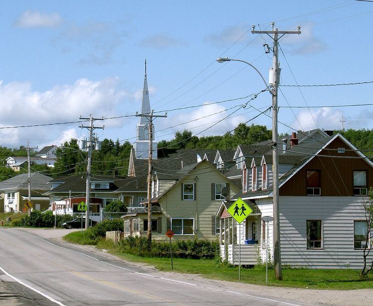
Longue-Rive is a municipality in the Côte-Nord region of the province of Quebec in Canada. The municipality includes the communities of Sault-au-Mouton, Baie-des-Bacon, Pointe-à-Boisvert, Rivière-Éperlan and Saint-Paul-du-Nord.
Contents
Map of Longue-Rive, QC, Canada
History
On May 7, 1997, the Village Municipality of Sault-au-Mouton and the Municipality of Saint-Paul-du-Nord were merged into the new Municipality of Saint-Paul-du-Nord–Sault-au-Mouton. The municipal council had 12 months to request for a name change, in consultation with its population. The new name Longue-Rive was chosen out of a list of 10 options through a referendum on May 26, 1998, and approved by the government on September 22, 1998. Longue-Rive (French for "long shore") refers to the municipality's location along the north shores of the Saint Lawrence River.
Demographics
Population trend:
Private dwellings occupied by usual residents: 520 (total dwellings: 571)
Mother tongue: