
Country India Time zone IST (UTC+5:30) Website nagaland.gov.in | State Nagaland Vehicle registration NL Local time Monday 1:08 AM | |
 | ||
Weather 11°C, Wind S at 6 km/h, 92% Humidity | ||
Longkhum is a village located 17 km south-west of Mokokchung, in Nagaland, North-East India. It is situated at an altitude of 1846 m above sea level. A vanguard village in the days of head hunting, it commands a view of the surrounding hills and valleys. Mongzu Ki - eagle's eyrie - is situated at a high precipice where eagles have nested for centuries. According to Ao mythology, eagles are the manifestations of the spirits of the dead. Both the Ao dialects of Mongsen and Chungli are spoken here.
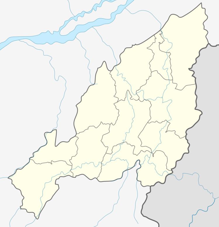
Map of Longkhum, Nagaland 798601
Longkhum is renowned for its handicraft and handloom items.
Major tourist attractions include the Mata Yimkong - the top of the hillock where once stood a fortress and the students' Jubilee Tower, the highest point of the village. The footprints preserved on a rock surface, believed to be of Chenna and Etiben – the Romeo and Juliet of the Ao Naga tribe, is another interesting spot worth visiting.
Longkhum celebrates most of the Ao tribe festivals including the Tsungremmong (in the first week of August) and Moatsu Mong (in early May).
Longkhum is linked by road to National Highway-61.