
OS grid reference SJ645340 Country England Post town MARKET DRAYTON Local time Sunday 7:07 PM Civil parish Moreton Say UK parliament constituency North Shropshire | Region West Midlands Sovereign state United Kingdom Postcode district TF9 Dialling code 01630 Ceremonial county Shropshire | |
 | ||
Weather 8°C, Wind NW at 11 km/h, 89% Humidity | ||
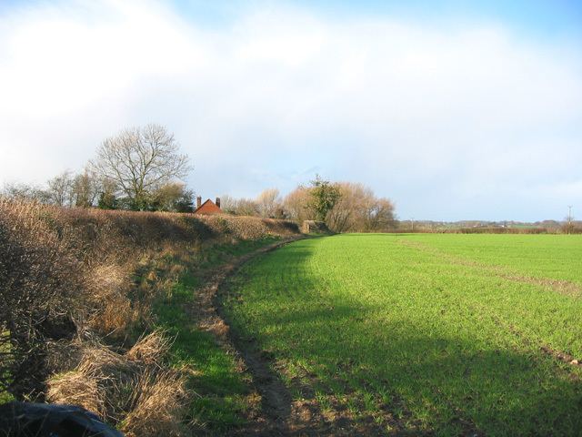
Longford is a small village near the town of Market Drayton, Shropshire, England. It is just off the A53, near to Ternhill and lies in the parish of Moreton Say.
Map of Longford, Market Drayton, UK
A topographical guide to Shropshire published in 2005 describes Longford as a "charming hamlet on a rise in undulating country." The guide says Longford is 1.5 miles west of Market Drayton and 1 mile southeast of Moreton Say.
The village name is believed to come from a great road that existed in Roman times and was simply known as the Longford. By 1319 it was a Royal road between Bletchley and Hinstock to the south. The village, not on the road, is located just east of Bletchley.
References
Longford, Market Drayton Wikipedia(Text) CC BY-SA