Elevation 1,465 m Administrative division Marudi | Local time Monday 1:03 AM | |
 | ||
Weather 13°C, Wind SW at 3 km/h, 100% Humidity | ||
Long Tungan (also known as Kenyah Jamok) is a settlement in the Marudi division of Sarawak, Malaysia. It lies approximately 564.4 kilometres (351 mi) east-north-east of the state capital Kuching.
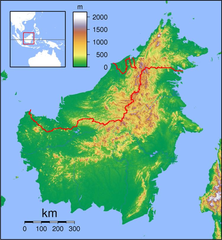
Map of Long Tungan, Sarawak, Malaysia
The people are from the Kenyah Jamok tribe. The village is located in the Upper Baram region between Lio Matoh (upstream) and Long Semiyang (downstream).
Neighbouring settlements include:
References
Long Tungan Wikipedia(Text) CC BY-SA
