
Administrative Division Marudi Local time Monday 12:42 AM | Elevation 1,443 m | |
 | ||
Weather 17°C, Wind W at 5 km/h, 100% Humidity | ||
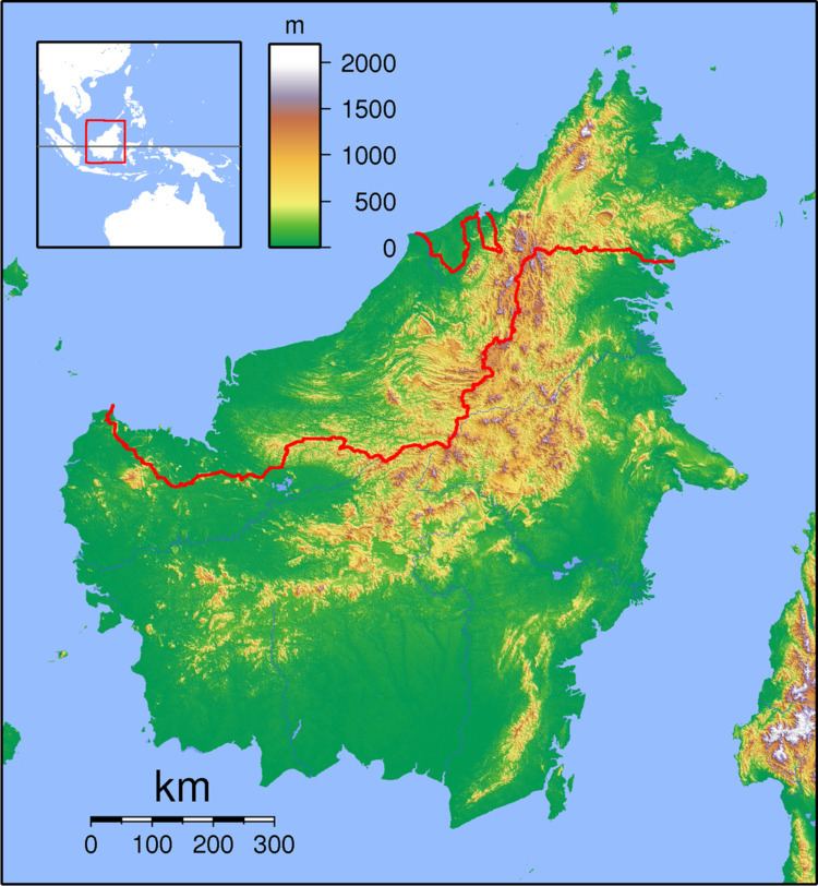
Long Rapung is a former settlement in the Marudi division of Sarawak, Malaysia. It lies approximately 634.8 kilometres (394 mi) east-north-east of the state capital Kuching. Long Rapung lies in the Dapur River floodplain. It was formerly a village but was evacuated during the Confrontation. Now the shelters provide overnight accommodation hunters and for visitors walking to Ba Kelalan or climbing Gunung Murud.
Map of Long Rapung, Limbang, Sarawak, Malaysia
Neighbouring settlements include:
References
Long Rapung Wikipedia(Text) CC BY-SA