
Elevation 486 m | Local time Monday 12:26 AM | |
 | ||
Weather 22°C, Wind SW at 3 km/h, 100% Humidity | ||
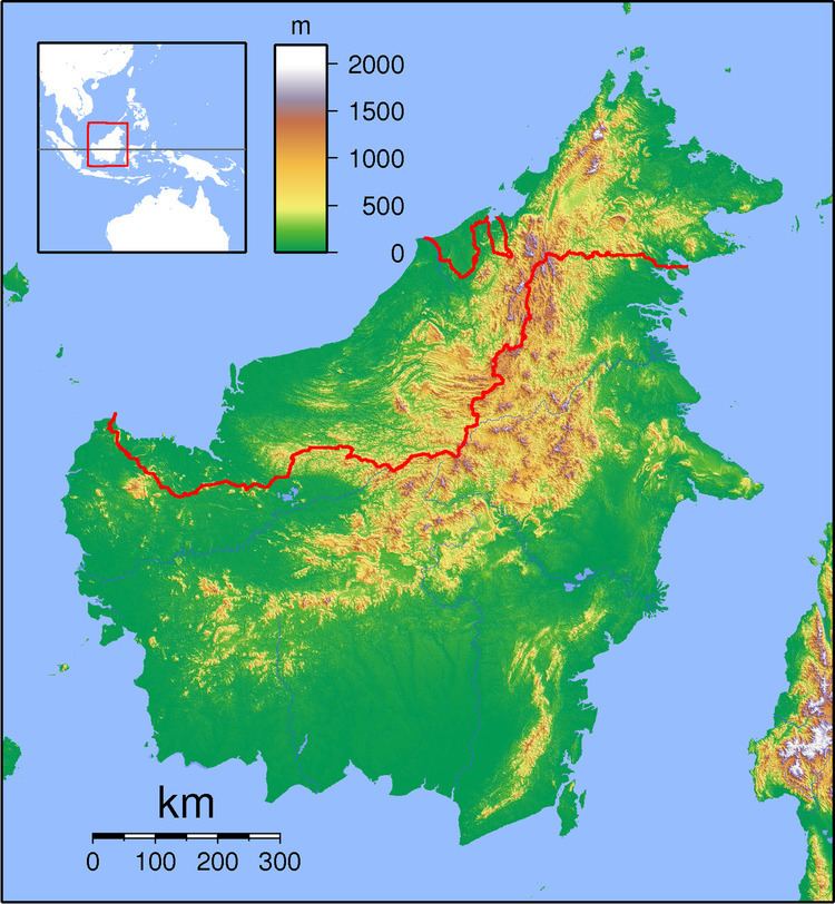
Long Merarap is a settlement in the Lawas division of Sarawak, Malaysia. It lies approximately 648.3 kilometres (403 mi) east-north-east of the state capital Kuching.
Map of Long Merarap, Lawas, Sarawak, Malaysia
On 4 May 1963 a Belvedere helicopter crashed near the village of Long Merarap in the Trusan Valley. A patrol from 22 SAS searched for survivors; they found the wreck, but all nine men on the helicopter were dead. The casualties were: Flight-Lieutenant A.P.J. Dobson (RAF), Flight-Lieutenant D.R.E. Viner (RAF), Corporal (Tech) J.L. Williams (RAF), Major H.A.I. Thompson MC (RHF & 22 SAS), Major R.H.D. Norman MBE (Para & 22 SAS), Corporal M.P. Murphy (Para and 22 SAS), Captain J. Conington (RF and 22 SAS), M.H. Day (Foreign Office) and D. Reddish (The Borneo Company).
Neighbouring settlements include: