
Location Bay of Bengal Adjacent bodies of water Indian Ocean Major islands Long Elevation 75 m Postal code 744203 Island group Andaman Islands | Archipelago Andaman Islands Total islands 1 Length 8.7 km (5.41 mi) Area 14.05 km² Area code 031927 Adjacent body of water Indian Ocean | |
 | ||
Long Island is an island of the Andaman Islands. It belongs to the North and Middle Andaman administrative district, part of the Indian union territory of Andaman and Nicobar Islands. the island is lying 80 km (50 mi) north from Port Blair.
Contents
- Map of Long Island Andaman and Nicobar Islands
- Geography
- Administration
- Demographics
- Transportation
- Tourism
- References
Map of Long Island, Andaman and Nicobar Islands
Geography
The island belongs to the East Baratang Group and lies east of Porlob Island.
Administration
Politically, Long Island, along neighboring East Baratang Group, is part of Rangat Taluk.
Demographics
There are 3 villages on the island: Long Village, Middle Village, and Lalaji Bay. Parkinson point (the northern tip of the island), was previously also inhabited. The island has its own power house, Boat Building Yard, Senior Secondary School, bank, wireless facilities, hospital, Range Forest Office and even police outpost. Long Island is a dreamland settlement without any road network.
Transportation
It's reachable by boat 4 times a week from Phoenix Bay Jetty in Port Blair, or from Yerrata Jetty in Rangat.
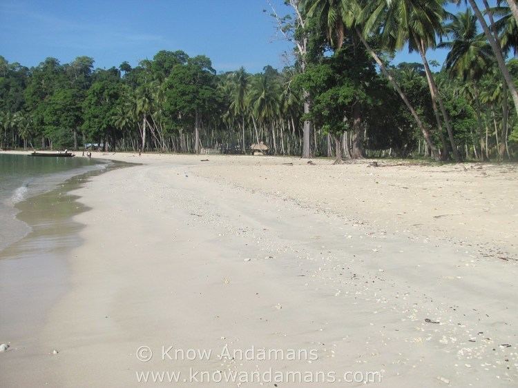
Tourism
Marg Bay and Lalaji Bay are 2 beaches popular as a picnic spot in this island. The island is a good location for beach camping. The hotels are mainly managed by the forest department. A visit to nearby Guitar Island is also popular.