
Population 208 Civil parish Long Bredy Local time Sunday 3:10 PM | OS grid reference SY569903 Sovereign state United Kingdom | |
 | ||
Weather 12°C, Wind NW at 18 km/h, 81% Humidity | ||
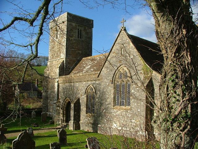
Long Bredy is a village and civil parish in the county of Dorset in south-west England, situated in the West Dorset administrative district approximately 7 miles (11 km) west of the county town Dorchester. It is sited in the valley of the small River Bride, beneath chalk hills of the Dorset Downs. In the 2011 census the parish had a population of 208.
Map of Long Bredy, Dorchester, UK
The environs of Long Bredy have some prehistoric history, including a burial chamber known as The Grey Mare and her Colts. The village itself is thought to have been established around the 9th century, and in 1086 was recorded in the Domesday Book as 'Langebride', which would have been pronounced 'Langabridda'. To the east of the village is Kingston Russell house, a 17th-century mansion.
References
Long Bredy Wikipedia(Text) CC BY-SA