
Country United States Elevation 853 m Founded 1901 Population 22 (2013) | Incorporated 1901 Area code(s) 458 and 541 Area 2.62 km² Zip code 97823 Local time Sunday 7:36 AM | |
 | ||
Weather 4°C, Wind S at 16 km/h, 89% Humidity | ||
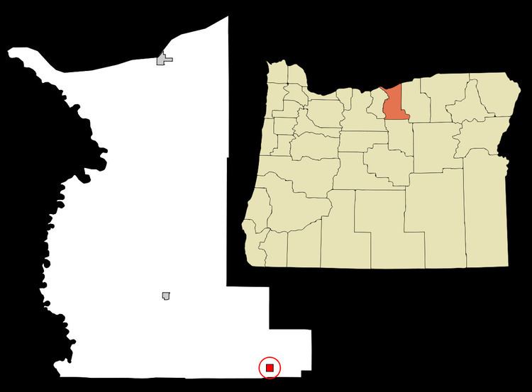
Lonerock is a city in Gilliam County, Oregon, United States. The population was 21 at the 2010 census.
Contents
Map of Lonerock, OR 97823, USA
History
Lonerock was founded in 1881 as a service center for the surrounding ranches. It was named for an unusual, 35-foot (11 m)-high lone rock which still stands in the town near the old Methodist church. The city's population grew from 68 in 1900 to 70 in 1910, 73 in 1920 and then to a high of 82 in 1930. By the 1940 census, Lonerock's population dwindled to 46, and continued to drop to 38 in 1950, 31 in 1960, and then bottomed out to 12 residents in 1970. The city grew to 26 citizens in 1980, before falling to 11 in the 1990 census.
Geography
According to the United States Census Bureau, the city has a total area of 1.01 square miles (2.62 km2), all of it land.
2010 census
As of the census of 2010, there were 21 people, 12 households, and 5 families residing in the city. The population density was 20.8 inhabitants per square mile (8.0/km2). There were 25 housing units at an average density of 24.8 per square mile (9.6/km2). The racial makeup of the city was 100.0% White.
There were 12 households of which 8.3% had children under the age of 18 living with them, 33.3% were married couples living together, 8.3% had a female householder with no husband present, and 58.3% were non-families. 50.0% of all households were made up of individuals and 50% had someone living alone who was 65 years of age or older. The average household size was 1.75 and the average family size was 2.40.
The median age in the city was 54.5 years. 4.8% of residents were under the age of 18; 0% were between the ages of 18 and 24; 19.1% were from 25 to 44; 28.5% were from 45 to 64; and 47.6% were 65 years of age or older. The gender makeup of the city was 42.9% male and 57.1% female.
2000 census
As of the census of 2000, there were 24 people, 15 households, and 7 families residing in the city. The population density was 24.1 people per square mile (9.3/km2). There were 27 housing units at an average density of 27.1 per square mile (10.4/km2). The racial makeup of the city was 100.00% White.
There were 15 households out of which 13.3% had children under the age of 18 living with them, 33.3% were married couples living together, 13.3% had a female householder with no husband present, and 53.3% were non-families. 53.3% of all households were made up of individuals and 33.3% had someone living alone who was 65 years of age or older. The average household size was 1.60 and the average family size was 2.29.
In the city, the population was spread out with 16.7% under the age of 18, 16.7% from 25 to 44, 33.3% from 45 to 64, and 33.3% who were 65 years of age or older. The median age was 60 years. For every 100 females there were 71.4 males. For every 100 females age 18 and over, there were 66.7 males.
The median income for a household in the city was $12,500, and the median income for a family was $20,938. Males had a median income of $0 versus $13,750 for females. The per capita income for the city was $8,857. There are 33.3% of families living below the poverty line and 17.9% of the population, including no under eighteens and none of those over 64.