
Country United States Elevation 426 m Local time Sunday 9:08 AM | GNIS feature ID 0468302 Area 91.55 km² Population 860 (2000) | |
 | ||
Weather -8°C, Wind E at 18 km/h, 54% Humidity | ||
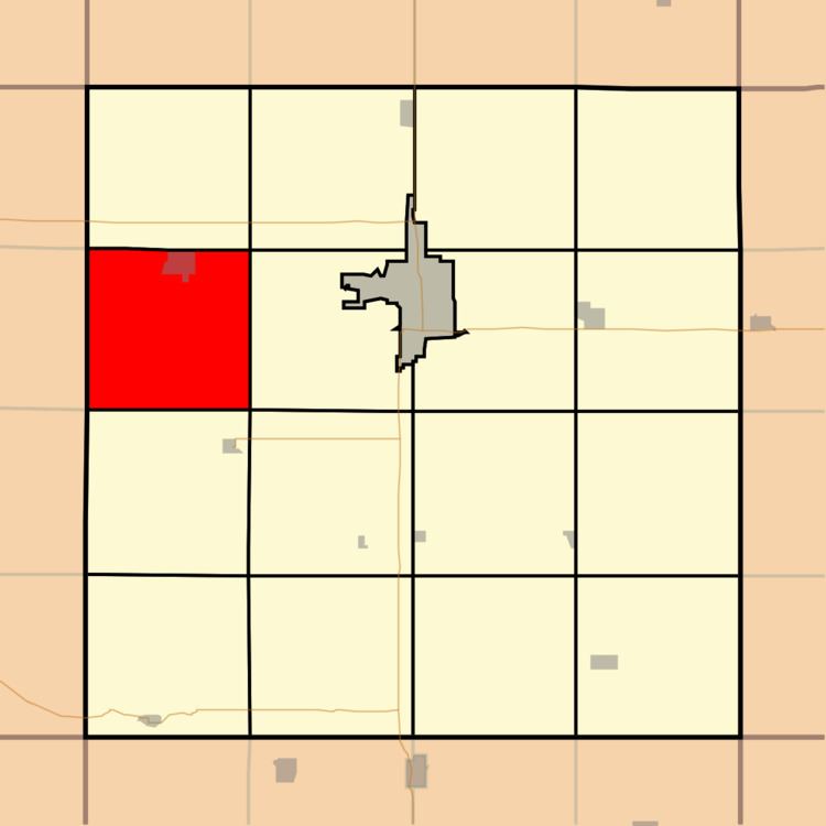
Lone Tree Township is a township in Clay County, Iowa, USA. As of the 2000 census, its population was 860.
Contents
Map of Lone Tree, IA, USA
History
Lone Tree Township was created in 1877. Lone Tree Township takes its name from a large elm tree that was a local landmark on the prairie.
Geography
Lone Tree Township covers an area of 35.35 square miles (91.6 km2) and contains one incorporated settlement, Everly. According to the USGS, it contains one cemetery, Lone Tree.
The stream of Sewer Creek runs through this township.
References
Lone Tree Township, Clay County, Iowa Wikipedia(Text) CC BY-SA