
Country United States Time zone CST (UTC-6) Elevation 179 m Local time Sunday 8:44 AM | Established September, 1876 ZIP codes 62838, 62857, 62880 Area 95.49 km² Population 656 (2010) | |
 | ||
Weather -2°C, Wind SW at 0 km/h, 57% Humidity | ||
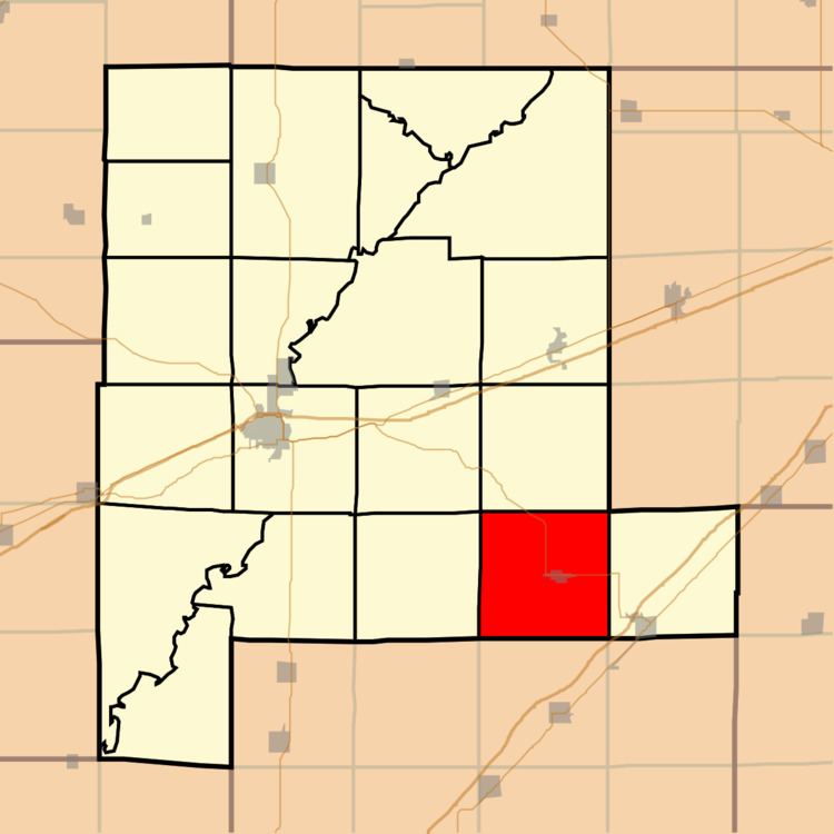
Lone Grove Township is one of twenty townships in Fayette County, Illinois, USA. As of the 2010 census, its population was 656 and it contained 294 housing units. This township was formed from LaClede and Wilberton townships in September 1876.
Contents
- Map of Lone Grove Township IL USA
- Geography
- Cities towns villages
- Unincorporated towns
- Cemeteries
- Major highways
- School districts
- Political districts
- References
Map of Lone Grove Township, IL, USA
Geography
According to the 2010 census, the township has a total area of 36.87 square miles (95.5 km2), all land.
Cities, towns, villages
Unincorporated towns
(This list is based on USGS data and may include former settlements.)
Cemeteries
The township contains these four cemeteries: Ambuehl, Harris, New Saint Peter and Old Saint Peter.
Major highways
School districts
Political districts
References
Lone Grove Township, Fayette County, Illinois Wikipedia(Text) CC BY-SA