
Department Ain Population (2008) 111 Area 11.35 km² | Canton Champagne-en-Valromey Time zone CET (UTC+1) Local time Sunday 10:39 AM | |
 | ||
Weather 10°C, Wind SW at 8 km/h, 59% Humidity | ||
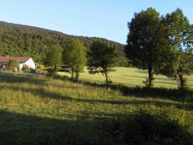
Lompnieu is a commune in the Ain department in eastern France.
Map of 01260 Lompnieu, France
It is located in La Val Romey, which means, "The Roman Valley." The Romans built several outposts in the valley.
Lompnieu is located near the base of the large valley, with forest mounting on one side, and a plain with larger mountains looming on the other side. On a clear day, the snow-covered Alps can be seen. Lompnieu is around 600 metres in elevation. The climate is rather hot in the summer, attaining into the 1990s, and fairly cold in winter, with several large snow falls.
References
Lompnieu Wikipedia(Text) CC BY-SA