
Location Frobisher Bay Nunavut Nunavut Population Uninhabited | Coastline 206 km (128 mi) Region Qikiqtaaluk Area 419 km² | |
 | ||
Island group Canadian Arctic Archipelago | ||
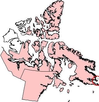
Loks Land Island is part of the Canadian Arctic Archipelago in Nunavut, Canada. It is located off the eastern tip of Baffin Island's Blunt Peninsula, close to the mouth of Frobisher Bay. It has an area of 419 km2 (162 sq mi) and a coastline of 206 km. The local Inuktitut name for the island is Takuligjuaq.
Map of Loks Land, Baffin, Unorganized, NU, Canada
Loks Land was the site of one of the stations in the Distant Early Warning Line radar defence network, and had the code number BAF-4A.
The island was visited by Martin Frobisher and is named for Michael Lok, a London financier who was one of the patrons of Frobisher's Arctic expeditions of the 1570s. Frobisher's first expedition found ore which was purported to contain gold, leading to a second and third expedition which failed to find any of the precious metal. These later speculative ventures almost bankrupted Lok.