
Country United States FIPS code 19-46245 Elevation 351 m Zip code 51453 Local time Sunday 12:13 AM | Time zone Central (CST) (UTC-6) GNIS feature ID 0458570 Area 5.54 km² Population 357 (2013) Area code 712 | |
 | ||
Weather -8°C, Wind NE at 5 km/h, 71% Humidity | ||
Lohrville is a city in Calhoun County, Iowa, United States. The population was 368 at the 2010 census.
Contents
Map of Lohrville, IA 51453, USA
History
Lohrville was platted in 1881 when the railroad was extended to that point. It was named for Jacob A. Lohr, who owned the land where the town was laid out.
Geography
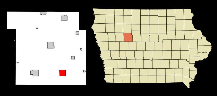
Lohrville is located at 42°16′7″N 94°32′52″W (42.268573, -94.547824).
According to the United States Census Bureau, the city has a total area of 2.14 square miles (5.54 km2), all of it land.
2010 census
As of the census of 2010, there were 368 people, 167 households, and 95 families residing in the city. The population density was 172.0 inhabitants per square mile (66.4/km2). There were 194 housing units at an average density of 90.7 per square mile (35.0/km2). The racial makeup of the city was 97.6% White, 0.5% Native American, 0.8% from other races, and 1.1% from two or more races. Hispanic or Latino of any race were 1.4% of the population.
There were 167 households of which 25.1% had children under the age of 18 living with them, 41.9% were married couples living together, 9.0% had a female householder with no husband present, 6.0% had a male householder with no wife present, and 43.1% were non-families. 38.3% of all households were made up of individuals and 17.4% had someone living alone who was 65 years of age or older. The average household size was 2.20 and the average family size was 2.92.
The median age in the city was 40.3 years. 24.5% of residents were under the age of 18; 7.8% were between the ages of 18 and 24; 23.1% were from 25 to 44; 26.5% were from 45 to 64; and 18.2% were 65 years of age or older. The gender makeup of the city was 50.3% male and 49.7% female.
2000 census
As of the census of 2000, there were 431 people, 193 households, and 109 families residing in the city. The population density was 109.8 people per square mile (42.5/km²). There were 215 housing units at an average density of 54.8 per square mile (21.2/km²). The racial makeup of the city was 99.30% White, 0.23% Native American, 0.23% Asian, 0.23% from other races. Hispanic or Latino of any race were 0.70% of the population.
There were 193 households out of which 28.5% had children under the age of 18 living with them, 47.2% were married couples living together, 7.3% had a female householder with no husband present, and 43.5% were non-families. 38.9% of all households were made up of individuals and 21.2% had someone living alone who was 65 years of age or older. The average household size was 2.23 and the average family size was 2.98.
In the city, the population was spread out with 27.1% under the age of 18, 4.4% from 18 to 24, 25.3% from 25 to 44, 21.3% from 45 to 64, and 21.8% who were 65 years of age or older. The median age was 40 years. For every 100 females there were 91.6 males. For every 100 females age 18 and over, there were 85.8 males.
The median income for a household in the city was $29,545, and the median income for a family was $45,208. Males had a median income of $27,308 versus $19,375 for females. The per capita income for the city was $15,655. About 9.3% of families and 12.1% of the population were below the poverty line, including 15.7% of those under age 18 and 6.9% of those age 65 or over.