
Country United States GNIS feature ID 0468292 Area 80.67 km² Population 164 (2010) | Time zone CST (UTC-6) Elevation 352 m Local time Saturday 8:10 PM | |
 | ||
ZIP codes 51601, 51639, 51640, 51650 Weather -2°C, Wind NE at 13 km/h, 56% Humidity | ||
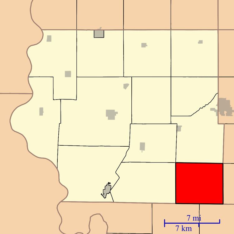
Locust Grove Township is one of thirteen townships in Fremont County, Iowa, United States. As of the 2010 census, its population was 164 and it contained 77 housing units.
Contents
- Map of Locust Grove IA USA
- Geography
- Cemeteries
- Transportation
- School districts
- Political districts
- References
Map of Locust Grove, IA, USA
Geography
As of the 2010 census, Locust Grove Township covered an area of 31.15 square miles (80.7 km2), all land.
Cemeteries
The township contains Locust Grove Cemetery and Saint Pauls Lutheran Cemetery.
Transportation
School districts
Political districts
References
Locust Grove Township, Fremont County, Iowa Wikipedia(Text) CC BY-SA