
Country United States County Benton County GNIS feature ID 0438196 Zip code 47944 | State Indiana Township Union Township Elevation 244 m Local time Saturday 6:49 PM | |
 | ||
Weather -2°C, Wind N at 11 km/h, 32% Humidity | ||
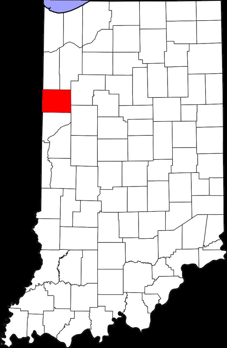
Lochiel is an unincorporated community in Union Township, Benton County, Indiana, United States.
Contents
Map of Lochiel, Union Township, IN 47944, USA
Geography
Lochiel is located at 40°39′51″N 087°16′26″W at an elevation of 801 feet.
History
A post office at Lochiel was established in 1883, and remained in operation until it was discontinued in 1907. The community was named after Clan Cameron, also known as Lochiel.
References
Lochiel, Indiana Wikipedia(Text) CC BY-SA