
Time zone Eastern (EST) (UTC-5) GNIS feature ID 0590686 Area 14.5 km² | FIPS code 24-47450 Elevation 126 m Population 25,333 (2010) | |
 | ||
Country United States of America Neighborhoods Windsor Mill Manor, Woodmoor, West Glen, Williamsburg, Willow Glen | ||
Lochearn is an unincorporated community and census-designated place in Baltimore County, Maryland, immediately to the west of Baltimore. The population was 25,333 at the 2010 census.
Contents
- Map of Lochearn MD USA
- Geography
- Major surface thoroughfares serving Lochearn
- Neighborhoods within Lochearn
- Climate
- Roads
- Public transportation
- Demographics
- References
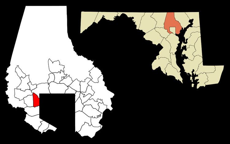
Map of Lochearn, MD, USA
Geography
Lochearn is bordered on the east by the Baltimore City line, on the south by Gwynn Oak Avenue, Woodlawn Drive, and Dogwood Road, on the west by the Baltimore Beltway, and on the northeast by the Baltimore Metro transit line, including the Milford Mill station. Woodmoor shopping center is located on Essex and Liberty roads.
Lochearn is located at 39°21′02″N 76°43′47″W (39.350630, -76.729755). According to the United States Census Bureau, the CDP has a total area of 5.6 square miles (15 km2), of which 0.04 square miles (0.10 km2), or 0.36%, is water.
Major surface thoroughfares serving Lochearn
Neighborhoods within Lochearn
Climate
The climate in this area is characterized by hot, humid summers and generally mild to cool winters. According to the Köppen Climate Classification system, Lochearn has a humid subtropical climate, abbreviated "Cfa" on climate maps.
Roads
The main road that runs through Lochearn is Liberty Road. Smaller roads serving individual communities include Buckingham Road, Croydon Road, Elba Drive, Essex Road, Lugine Avenue, Patterson Avenue, and St. Lukes Lane.
Public transportation
The Maryland Transit Administration's Bus Route 52 runs along Liberty Road through Lochearn.
Demographics
As of the census of 2000, there were 25,269 people, 9,771 households, and 6,732 families residing in the CDP. The population density was 4,537.1 people per square mile (1,751.6/km2). There were 10,229 housing units at an average density of 1,836.6 per square mile (709.1/km2). The racial makeup of the CDP was 18.50% White, 78.40% African American, 0.30% Native American, 0.81% Asian, 0.04% Pacific Islander, 0.49% from other races, and 1.46% from two or more races. Hispanic or Latino of any race were 1.50% of the population. 5% of Lochearn's residents were German, 4% Irish, 3% West Indian, 2% Sub-Saharan African, 2% English, 2% Jamaican, and 2% African.
There were 9,771 households out of which 29.6% had children under the age of 18 living with them, 42.9% were married couples living together, 21.1% had a female householder with no husband present, and 31.1% were non-families. 26.4% of all households were made up of individuals and 8.1% had someone living alone who was 65 years of age or older. The average household size was 2.55 and the average family size was 3.06.
In the CDP, the population was spread out with 25.1% under the age of 18, 7.8% from 18 to 24, 27.2% from 25 to 44, 26.1% from 45 to 64, and 13.7% who were 65 years of age or older. The median age was 38 years. For every 100 females there were 84.4 males. For every 100 females age 18 and over, there were 78.9 males.
The median income for a household in the CDP was $49,517, and the median income for a family was $54,994. Males had a median income of $35,459 versus $30,339 for females. The per capita income for the CDP was $21,652. About 4.7% of families and 7.0% of the population were below the poverty line, including 9.3% of those under age 18 and 7.3% of those age 65 or over.