
Max. length 0.75 mi (1.21 km) Surface area 108.7 ha (269 acres) Area 109 ha | Max. width 0.3 mi (0.48 km) Surface elevation 308 m Shore length 3.1 km | |
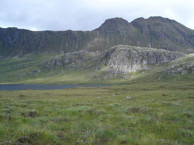 | ||
Location Wester Ross, Highlands Scotland | ||
Loch a' Ghobhainn is an upland freshwater loch lying inland and south west of the village of Shieldaig in the Scottish Highlands. The loch has an irregular, somewhat elliptical shape with a perimeter of 3.1 km (1.9 mi). It is approximately 0.75 mi (1.21 km) long, has an average depth of 12.5 ft (3.8 m) and is 28 ft (8.5 m) at its deepest. The loch was surveyed on 8 August 1902 by T.N. Johnston and John Hewitt and later charted as part of Sir John Murray's Bathymetrical Survey of Fresh-Water Lochs of Scotland 1897-1909.
Map of Allt Loch a' Ghobhainn, Achnasheen, UK
References
Loch a' Ghobhainn Wikipedia(Text) CC BY-SA