
Max. width 0.125 mi (0.201 km) Area 18 ha Number of islands 0 | Primary outflows Mid Burn Max. length 0.75 mi (1.21 km) Surface elevation 233 m Shore length 2.6 km | |
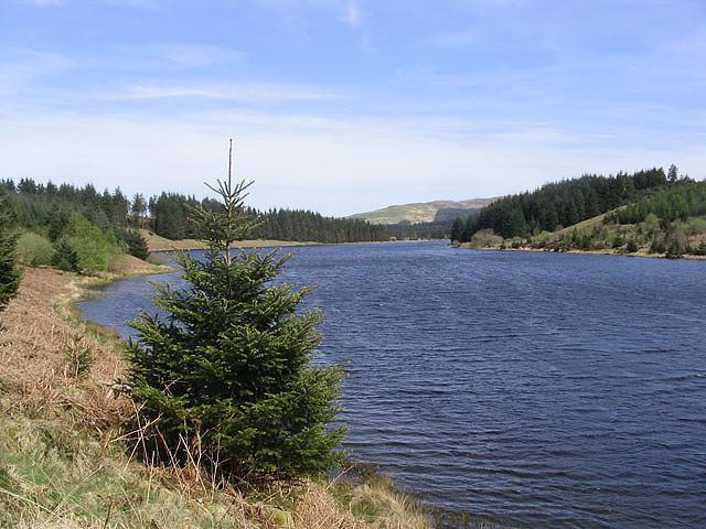 | ||
Loch Howie is a small, narrow, upland freshwater loch on the north side of Blackcraig Hill, approximately 18 miles (29 km) west of Dumfries, Scotland. The loch trends from south-west to north-east and is 0.75 mi (1.21 km) long by approximately 0.25 mi (0.40 km) at its widest point. It has an average depth of 16 ft (4.9 m) and is 39 ft (12 m) at its deepest. The loch was surveyed on 23 July 1903 by James Murray as part of Sir John Murray's Bathymetrical Survey of Fresh-Water Lochs of Scotland 1897-1909.
Map of Loch Howie, Castle Douglas, UK
The loch is popular for fishing and is populated with perch, pike and roach.
References
Loch Howie Wikipedia(Text) CC BY-SA