
Primary inflows Surface elevation 501 m Mean depth 3.7 m Width 300 m Number of islands 0 | Primary outflows Callater Burn Max. length 1 mi (1.6 km) Area 31 ha Length 1.6 km Primary outflow Callater Burn | |
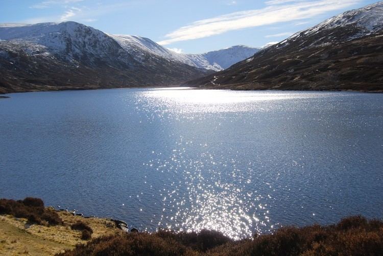 | ||
Loch Callater is an upland, freshwater loch lying approximately 5 mi (8.0 km) south of Braemar, Scotland. The loch trends in a northeast to southwest direction and is surrounded on both sides by steep hills. It is approximately 1 mi (1.6 km) in length.
Map of Loch Callater, Ballater, UK
The loch was surveyed on 11 July 1905 by T.N. Johnston and L.W. Collett and later charted as part of the Sir John Murray's Bathymetrical Survey of Fresh-Water Lochs of Scotland 1897-1909.
Trout, salmon, eels and perch are found in the loch. A permit is required for fishing.
The loch and surrounding area is popular with walkers and at the north end is the Callater Stable walkers' bothy.
References
Loch Callater Wikipedia(Text) CC BY-SA