
Local time Thursday 11:48 AM | ||
 | ||
Weather 9°C, Wind NE at 24 km/h, 75% Humidity | ||
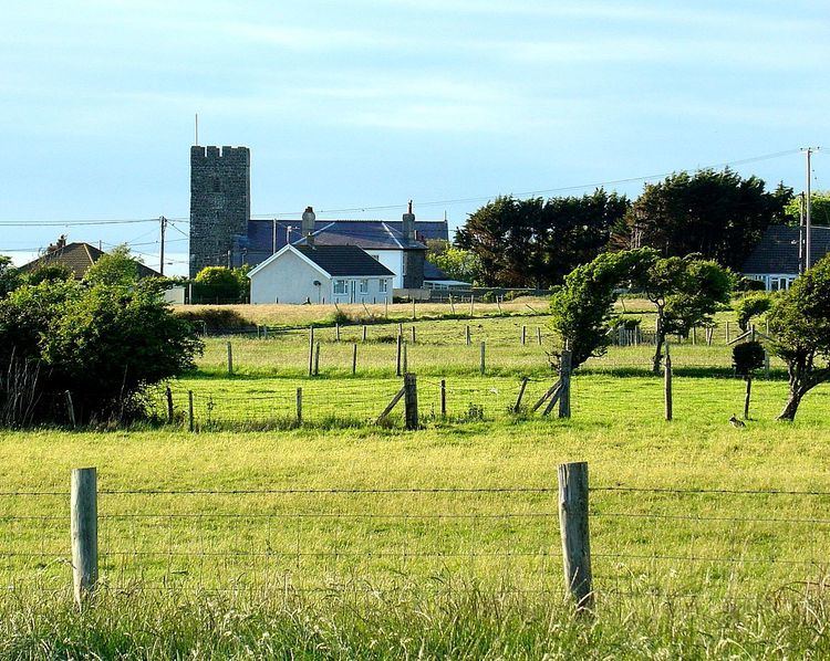
Llansantffraid or Llansantffraed (English equivalent: Parish of St Brigid) is a small rural village near (and virtually merged with) Llanon, just west of the main A487 Coastal Road between Aberaeron and Aberystwyth, about eleven miles from Aberystwyth. The population in 2001 was 1,241, declining to 1,212 at the 2011 census.
Contents
Map of Llansantffraed, UK
The parish church of St Ffraed dates from the 15th century and is a grade II* listed building.
Governance
An electoral ward with the same name exists. This ward stretches inland with a total population of 2,386.
There is also a community council with the same name that covers a smaller part of the electoral ward that has ten members sitting. It is due to be next elected in May 2017.
References
Llansantffraid, Ceredigion Wikipedia(Text) CC BY-SA