
Population 582 (2011) Sovereign state United Kingdom Local time Thursday 11:32 AM | OS grid reference SJ125085 Country Wales Postcode district SY21 Dialling code 01938 Post town Welshpool | |
 | ||
Weather 9°C, Wind NE at 24 km/h, 78% Humidity | ||
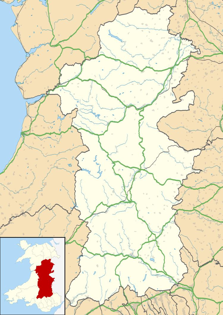
Llangynyw (also Llangyniew) is a hamlet and community in Powys, mid Wales. It is located on a hill inside a bend in the River Banwy, approximately two miles north-east of Llanfair Caereinion.
Map of Llangyniew, UK
The focus of the hamlet is the Parish Church of St. Cynyw, which dates from between 1450 and 1500 and is a Grade II* listed building.
The parish of Llangynyw had a population of 551 when the 1801 census was taken, 430 in 1901, and 295 in 1971, increasing back to 582 at the 2011 census.
References
Llangynyw Wikipedia(Text) CC BY-SA